Council mocked for £288,000 pavement and road safety work that 'beggars belief' and is a 'total waste of money'
By Neil Speight 27th Jul 2020
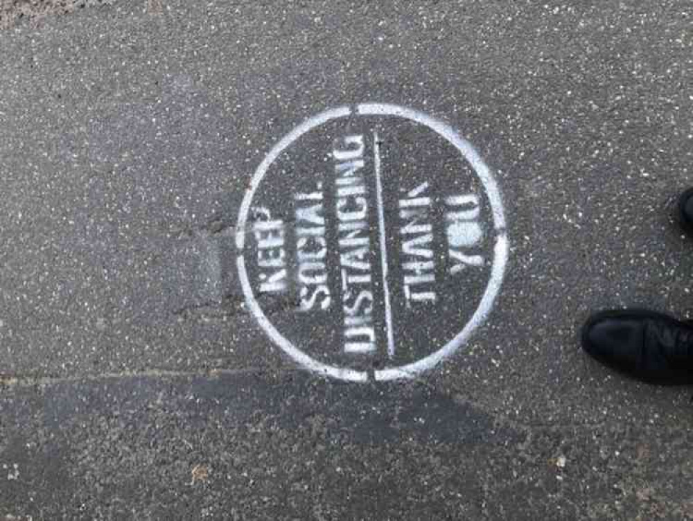
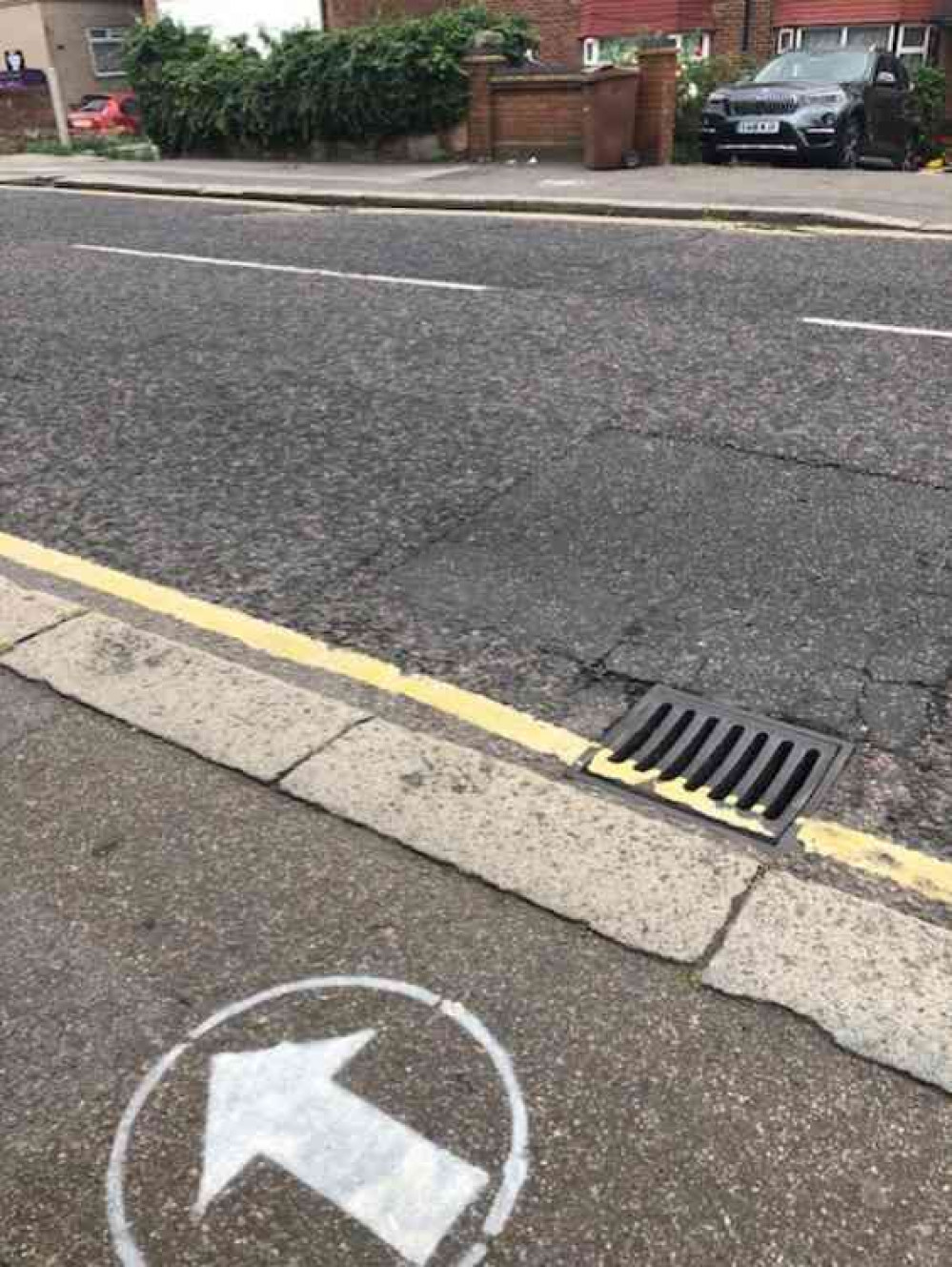
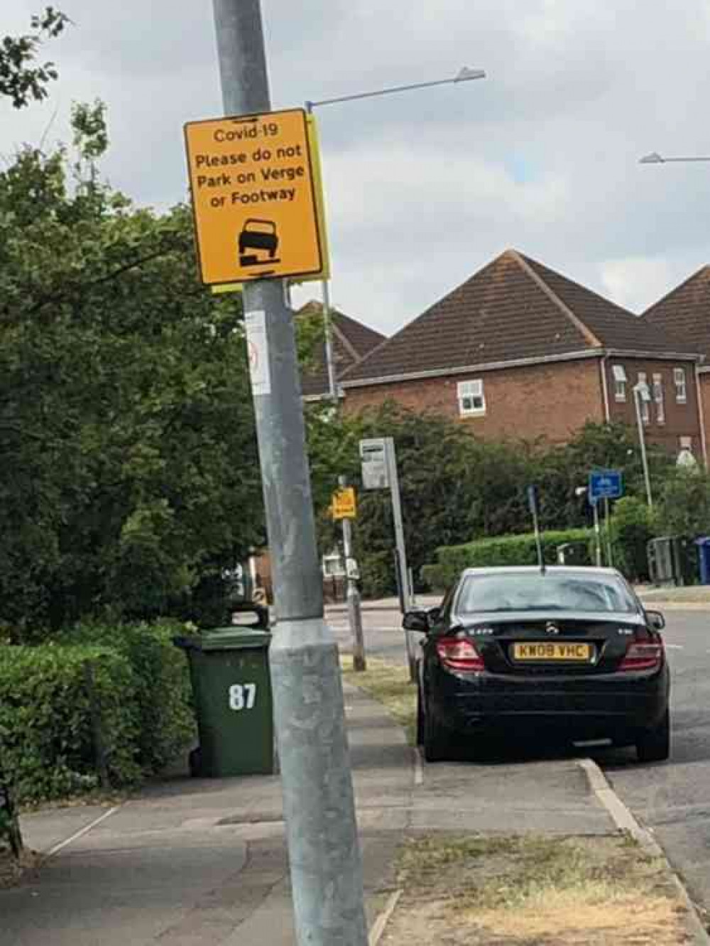
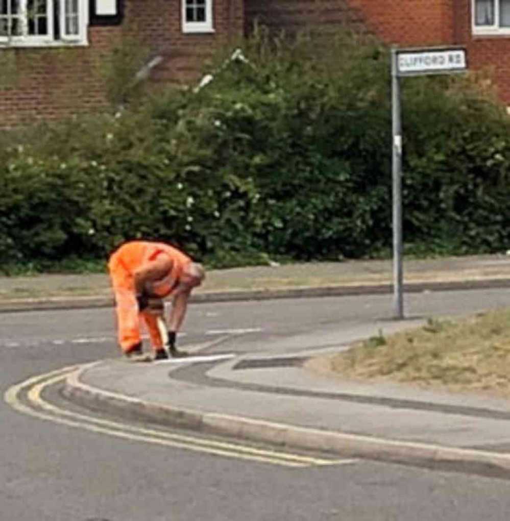
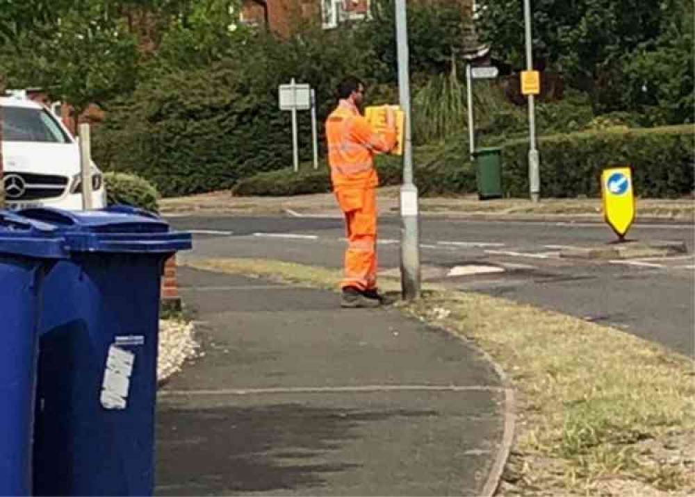
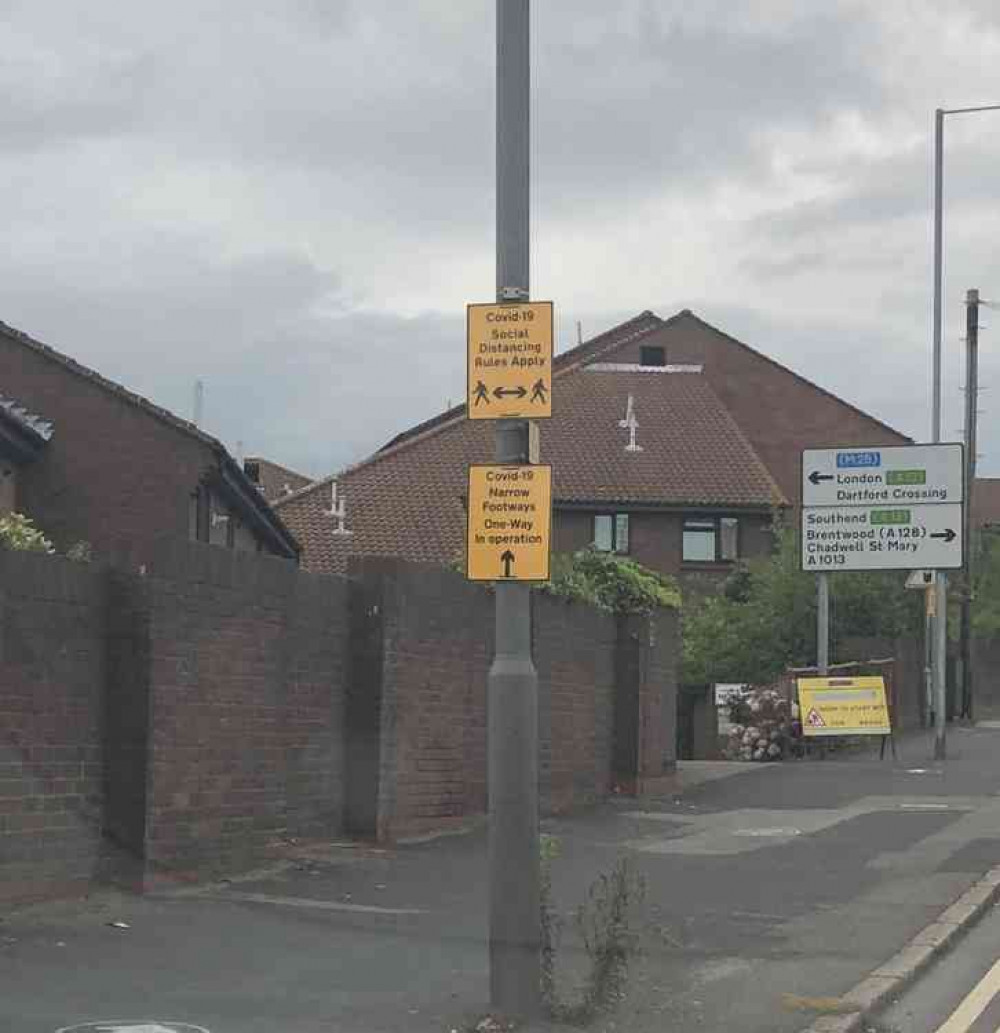
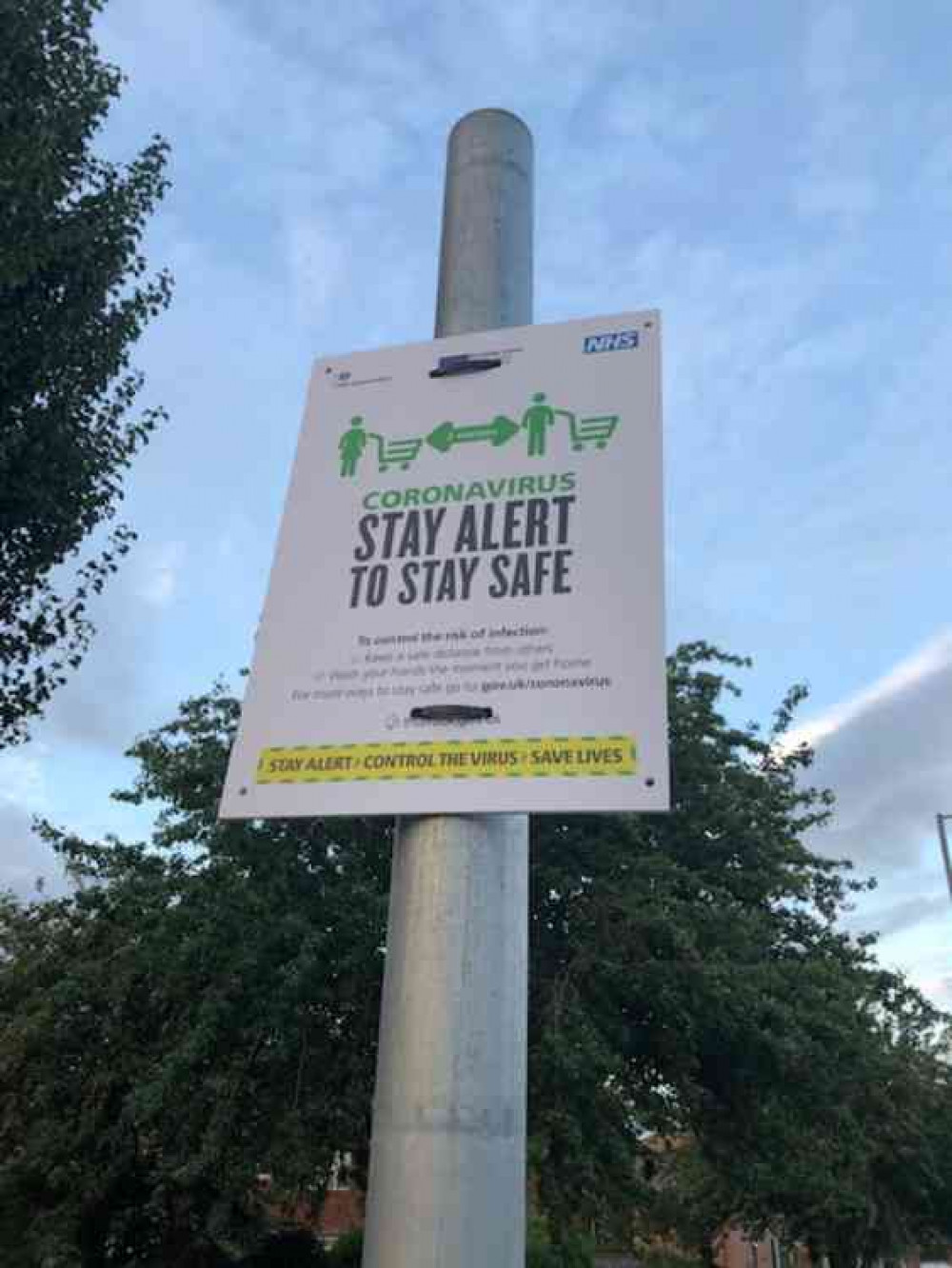

RESIDENTS across Thurrock have mocked Thurrock Council after it delivered its 'improvements and benefits' to safe and sustainable travel across the borough by painting arrows and lettering on pavements and putting up signs on lamp-posts that offered little or no explanation about what they mean.
And it appears a commitment to consult with councillors about the project has been ignored - other than to tell them what is happening.
In June council leader Cllr Rob Gledhill announced how the council would be spending £288,000 – the first part of a £1,438,000 government grant aimed at promoting sustainable travel and creating a safe local infrastructure. He said: "This funding will allow us to create wider footways and cycling infrastructure to help people get to schools, shops and employment while avoiding public transport and still following social distancing guidance.
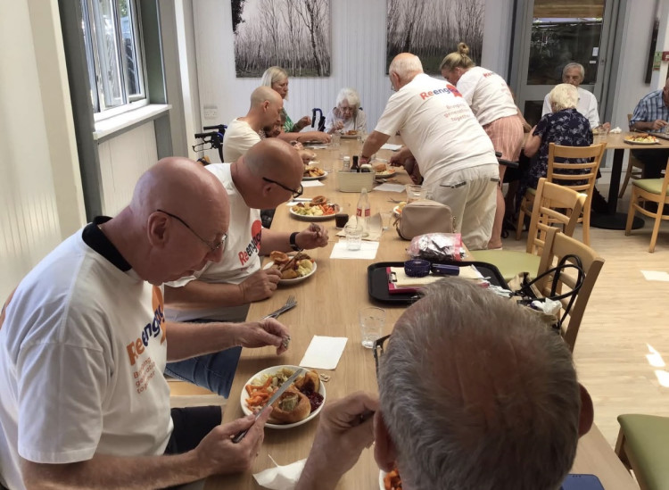
"We have identified 27 projects which will have both short and longer term benefits to safe and sustainable travel across the borough. "These will be shared with ward councillors for comment. "With the short delivery time we have to ensure this grant of taxpayers money is spent wisely and delivers these projects as quickly as possible." Last week teams of council contractors moved into action.
He summed up the scheme: "Cllr Gledhill said 'we have to ensure this grant of taxpayers' money is spent wisely'. This is neither wise, nor effective. I struggle to find the words to describe what I have seen done and I am extremely disappointed that there has been no engagement, no consultation and so little information given to the public. The whole thing beggars belief."

Thurrock Nub News has once again asked the council to comment.
Update:
Following publication of our story we have been sent the following information from a council spreadsheet about the works, their locations and what they are supposed to achieve. Stanford-le-Hope: Southend Road & Hardie Road. King Street to Scratton Road - narrow footway on both sides creating space for walking and cycling. Stanford-le-Hope: London Road/Church Hill. Rayleigh Road to Train Station - narrow footway in places. Ensure sufficent space for walking and cycling to and from the station from residential areas. Temporary widening of footway into grass verge from Stanford road to Rayleigh Road East Tilbury: Princess Margaret Road. Scout Hall to Halt Drive. Pinch point at level crossing - road markings and signage. Stanford-le-Hope: High Street & King Street. Footway narrow on parts of High Street Improved access along town centre for walking and cycling, while considering needs to waiting at stores. Road markings and signage. South Stifford: London Road. Stoness Rbt to Devonshire Road * Creating space for walking and cycling. Road markings and signage. South Ockendon: Arisdale Ave. Redirect pedestrians and cyclists onto quieter streets to the east of Arisdale Avenue towards Orchard Rd and South Road. Road markings and signage South Ockendon: Daiglan Drive. Redirect pedestrians and cyclists onto quieter streets to the east of Daiglan Drive - Annifer Close. Road markings and signage. West Thurrock: West Thurrock Way (Lancaster RAB to London Road) * Creating Space for cycling and walking. Road narrowing on west side of route to provide wider path. Chafford Hundred: Galleon Road/Saffron Rd/Fleming Road. Create space for cycling towards railway station Railway Station. Chafford Hundred: Drake Road. Nature Park to Devonshire Road - Create space for cycling - key convergence route in Chafford towards Grays. South Ockendon: Tamarisk Road. Length of Tamarisk Road - key access to railway station Create space for pedestrians and cyclists accessing the Station. South Ockendon: West Rd. West Street between South Street and Tamarisk Road - Create space for pedestrians and cyclists arriving at station from North Road and east of station - footway on West Road narrow. West Thurrock: Weston Ave/Motherwell Way/Magnet Rd. Create space for cycling to work. Grays: Orsett Road/Palmers Avenue/Southend Road. High Street to Lodge Lane * Creating Space for cycling and walking follows government advice. Also waiting outside shops. Grays: Rectory Road or Whitehall Lane. Create space along route for walking and cycling Tilbury: St Chads Road. Feenan Highway to Calcutta Road Space to accommodate waiting outside shops conflicting with pedestrians Tilbury: Civic Square/Calcutta Road/Dock Road. Up to Asda Rbt - Conflict of shoppers waiting and pedestrian movements. Ensuring space for shared use while people wait outside retail. Tilbury: St Andrews Road. Hairpin Bridge to Asda Rbt. Ensuring sufficient space for cycling and walking to access port and residential area. Chadwell St Mary: Riverview. Narrow footway in areas. Ensuring sufficient space for walking and cycling. Corringham: Gordan Road. On footway parking potential obstruction. Creating sufficient space for walking and cycling. Corringham: Springhouse Road. On footway parking potential obstruction. Creating sufficient space for walking and cycling. Purfleet: London Road - Tank Hill junct to Coniston Ave - road and footways are narrow, heavy traffic to enable access to station. Create additional space for walking and cycling as route is narrow, enabling access to the station. Purfleet: Tank Hill Lane,south of Tank Lane - road is narrow with lack of footway space Create additional space for footway, as provision does not exist.
CHECK OUT OUR Jobs Section HERE!
thurrock vacancies updated hourly!
Click here to see more: thurrock jobs
Share: